
Ecological Succession on UK Rocky and Hard-Engineered Shores
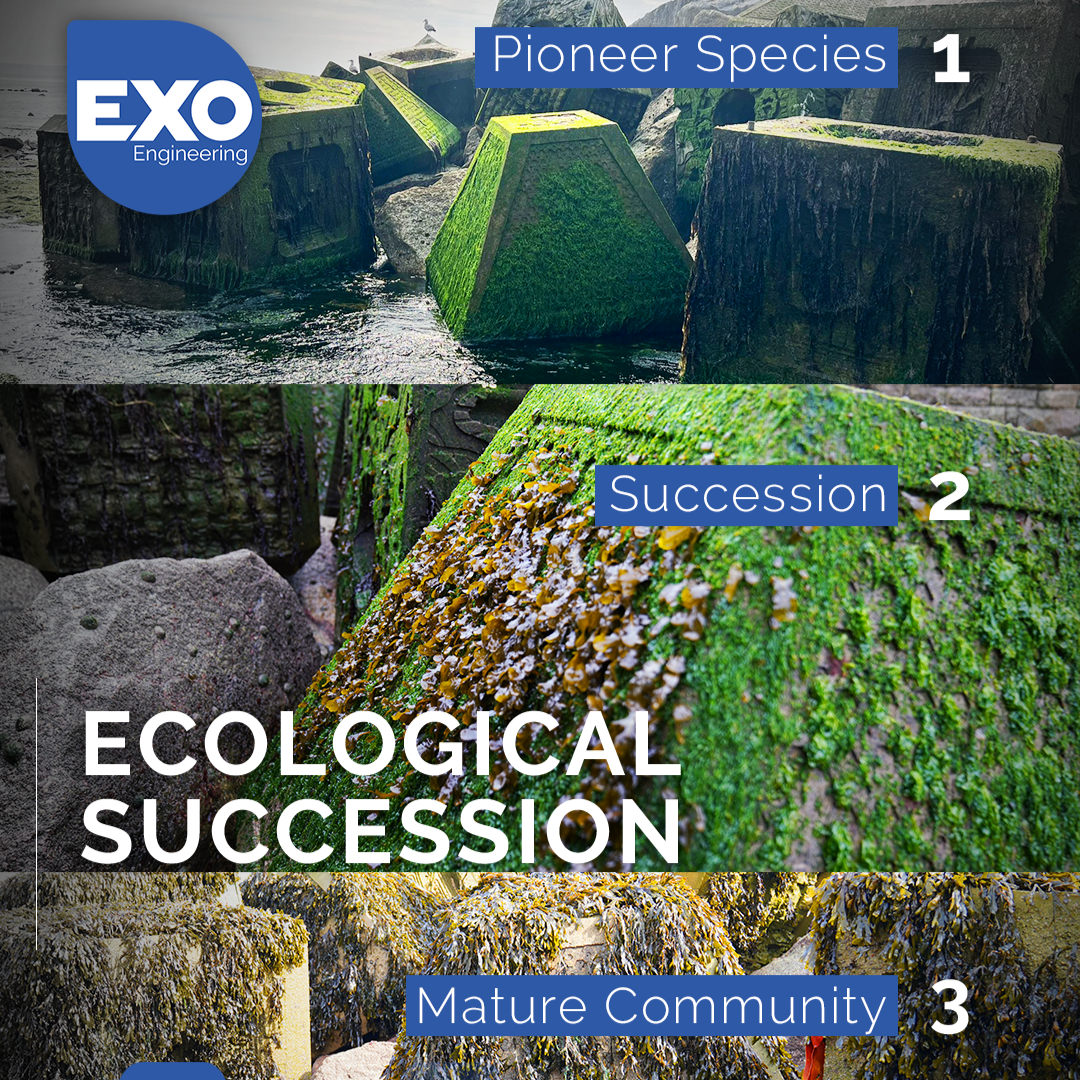
Exo Engineering Ecological Succession Graphic
Around the UK coastline, every groyne, harbour wall, and rocky outcrop is a battlefield for space. Bare rock, whether natural or engineered, is one of the most valuable and contested resources in the intertidal zone, and the process by which it fills with life, ecological succession, follows a remarkably predictable script, whether the surface is Jurassic limestone or a freshly poured concrete sea wall.
The Pioneers
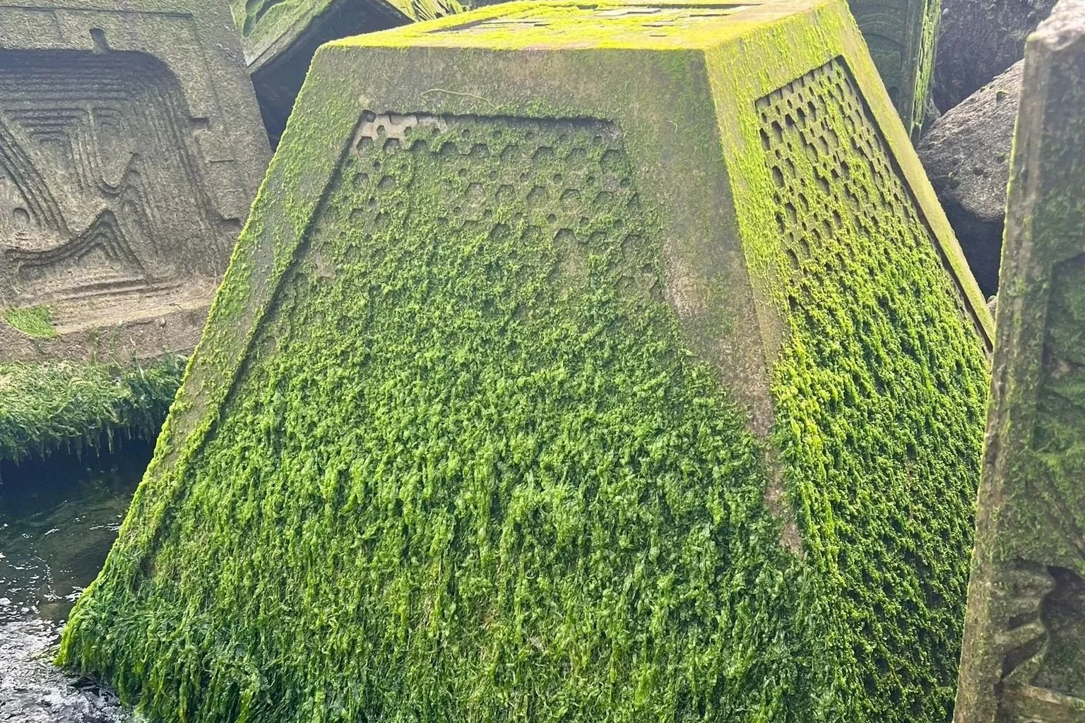
ExoRock Pioneers Settlement
New or cleared surfaces are colonised first by species with fast-dispersing, opportunistic life histories. In the UK, this typically means a biofilm of diatoms and cyanobacteria forming within days, followed swiftly by green macroalgae such as Ulva (sea lettuce) and Enteromorpha. Among animals, barnacles are classic pioneers, settling from plankton in vast numbers during spring recruitment events. These early colonisers thrive because they tolerate desiccation, temperature swings, and wave exposure better than most later-arriving species, and they need no pre-existing community to establish themselves.
Succession Over Time
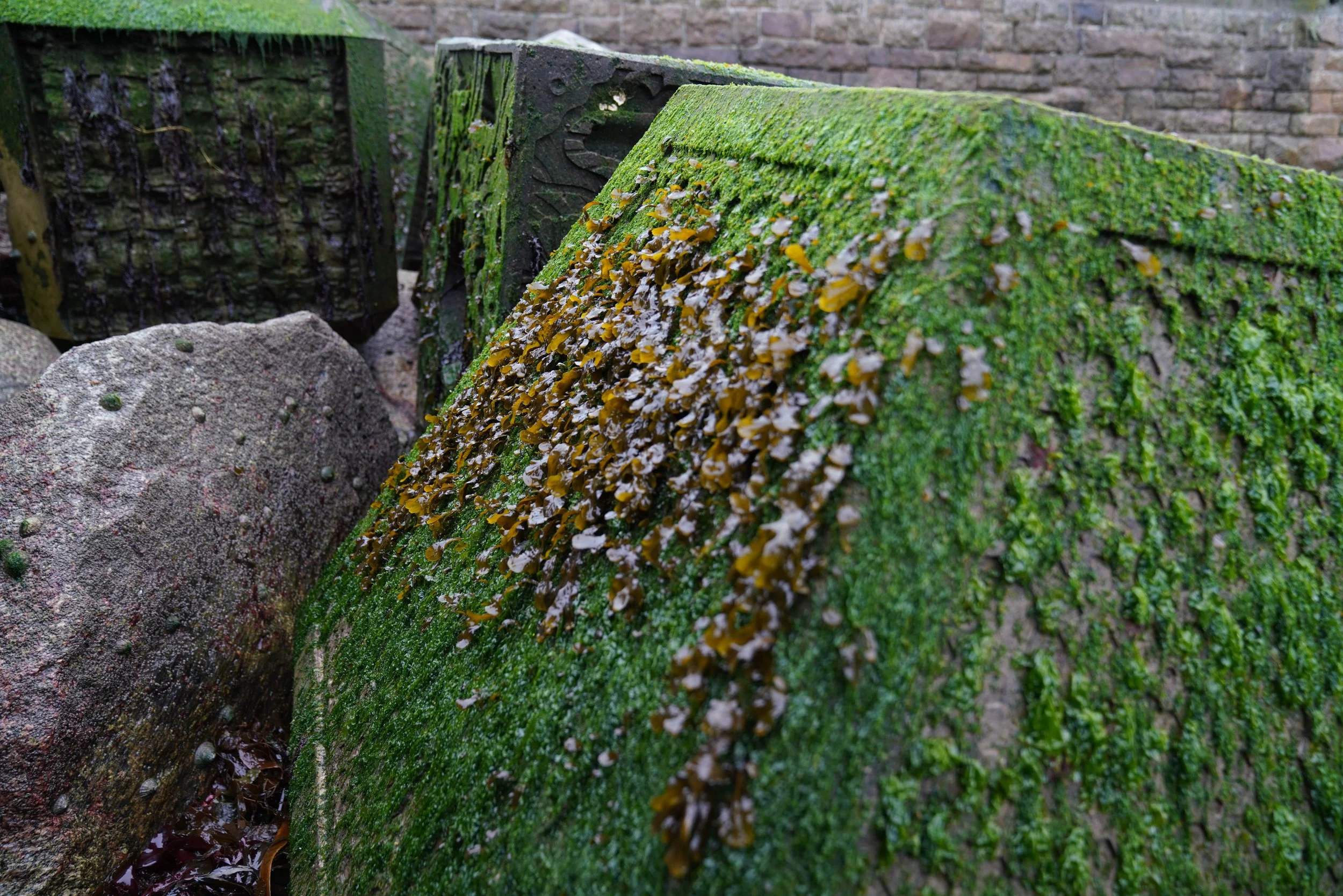
ExoRock Ecological Succession
Once barnacles and algal turf establish a foothold, they change the surface itself, trapping moisture, creating crevices, and offering settlement cues for other larvae. Mussels (Mytilus edulis) often move in next, forming dense beds that can often outcompete barnacles for space. Fucoid seaweeds then follow, their canopies shading out the algal turf beneath and altering the local microclimate further. Grazers such as periwinkles (Littorina spp.) and limpets (Patella vulgata) arrive alongside predators like the dog whelk (Nucella lapillus), which preys on barnacles and mussels and plays an outsized role in determining which species dominate, a classic case of a "keystone" predator shaping community structure. In turn, these species are then preyed upon by sea stars, shore crabs, and birds like oystercatchers and gulls, creating a complete ecosystem.
Given enough time and stability, many UK hard shores reach a relatively stable mosaic dominated by fucoid canopy, mussel beds, or barnacle-grazer systems, depending on wave exposure, aspect, and tidal height. True climax communities are rare, though, because storms, ice scour, human disturbance, and seasonal recruitment failures regularly reset patches back to bare rock, creating a shifting patchwork rather than a single endpoint.
Designing Structures for Nature, Not Just Function
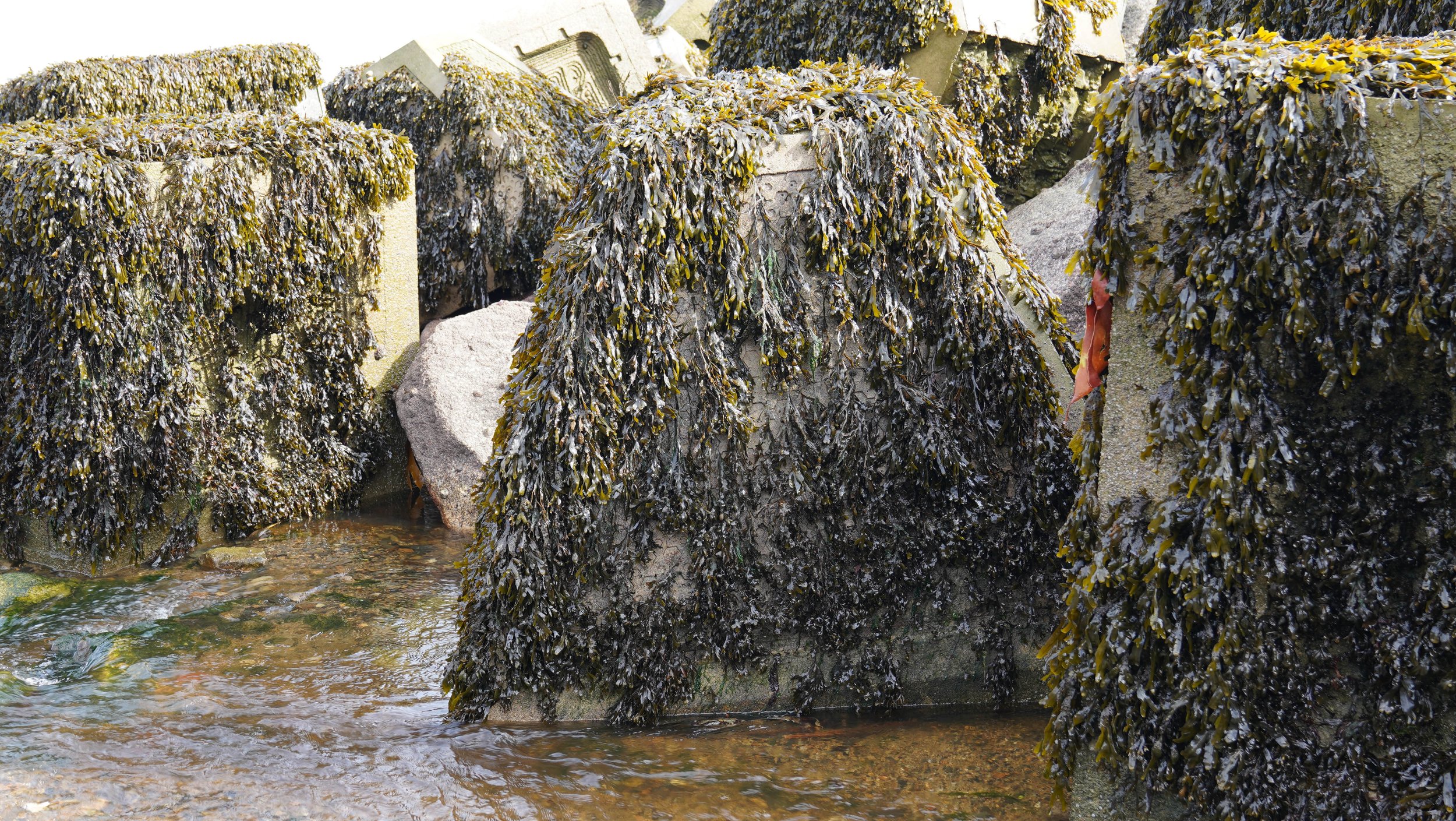
ExoRock Ecological Mature Community
As more of the UK coastline is armoured with seawalls, groynes, and breakwaters, engineers and ecologists are increasingly asking how these structures can do double duty: providing coastal protection while also compensating for the natural rocky habitat lost beneath them. This is the premise of nature-inclusive design (sometimes called eco-engineering). Conventional smooth concrete offers little purchase for larvae and spores, and dries out quickly at low tide, so it tends to support far lower species diversity than a natural rocky shore of equivalent age.
Simple changes to surface texture make a measurable difference. This includes microtexture changes, such as increasing concrete surface roughness, as well and macrotexture changes, such as including grooves and pits. These create microhabitats sheltered from wave action and sun, giving barnacle and algal spores more places to settle and survive. Water-retaining features go a step further: artificial rock pools, drilled cavities, and moulded crevices hold seawater through the tidal cycle, buffering temperature and preventing desiccation. These pools can support species that would otherwise struggle on an exposed vertical wall, from anemones and small fish to a wider range of algae, effectively recreating pockets of natural shore habitat within an engineered structure.
Monitoring Change Over Time
Long-term monitoring typically combines several approaches. These range from simple approaches such as the use of fixed quadrat surveys and transect lines, to more sophisticated techniques, such as the use of environmental DNA (eDNA) analysis. Quadrats are simple, measurable square frame grids, which can be scored in the field or photographed for later analysis, allowing the abundance and percentage cover of species to be tracked across seasons and years. Transects running from low to high shore capture zonation patterns and how they shift with sea temperature or sea-level change. For eDNA, samples of water or sediment can be taken in the field, or organisms and biofilm can be scraped from the hard surfaces of rock of concrete, and metataxonomic analysis of these samples in the laboratory can produce a list of the species present, including microscopic species unable to be seen with the naked eye. Together, these methods can track the changes in the composition of the intertidal community over time, and reveal not just what lives on our shores, but how resilient, or vulnerable, these communities are to a changing coastline.